Water reflectance data for validating satellite data at all wavelengths
The objective of WATERHYPERNET is to provide time series of hyperspectral water reflectance data from locations in oceanic, coastal and inland waters for the validation of satellite data at all wavelengths in the range 400-900nm.
The primary users of this data are satellite mission validation teams (space agencies and associated validation scientists) and remote sensing algorithm developers (atmospheric correction, phytoplankton, suspended particulate matter, etc.). The data may also be useful for coastal and inland water quality monitoring, particularly if combined with other in-water measurements.
Typical satellite missions/sensors for which WATERHYPERNET is designed include Sentinel-3/OLCI, Sentinel-2/MSI, MODIS/AQUA and TERRA, PRISMA, Landsat-8, Pléiades, VIIRS, PROBA-V, DESIS, PlanetDoves, CHRIS/PROBA and SEVIRI. Future missions such as CHIME, PACE, ENMAP, GLIMR, MTG and multiple cubesat constellations are also expected to benefit from WATERHYPERNET validation data.
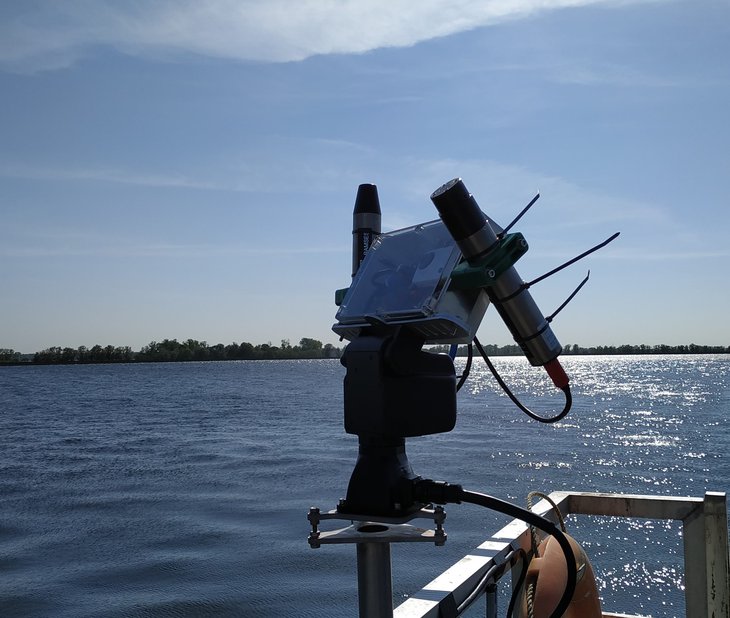
WATERHYPERNET is a federated network of automated hyperspectral radiometers on zenith- and azimuth- pointing systems, deployed on fixed structures such as oceanographic platforms. Data is acquired, processed and quality controlled according to a common protocol providing water reflectance as well as the underlying upwelling (water) radiance, downwelling (sky) radiance and downwelling irradiance data. Measurement uncertainties are estimated according to Fiducial Reference Measurement principles and will be distributed together with the measured data.
